


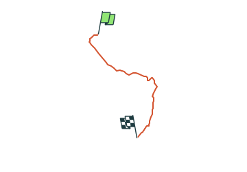

6.9 km | 8.9 km-effort


Tous les sentiers balisés d’Europe GUIDE+


FREE GPS app for hiking
 SityTrail
IGN / Geographical institutes
SityTrail World
The world is yours!
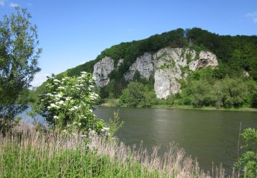
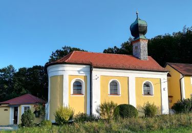
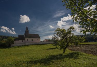
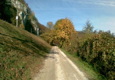
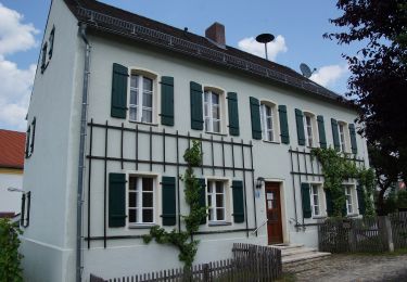
Trail On foot of 3 km to be discovered at Bavaria, Landkreis Kelheim, Bad Abbach. This trail is proposed by SityTrail - itinéraires balisés pédestres.
Trail created by Waldverein Regensburg.
FIXME: Bitte hilf mit, alle Wegsegmente zu erfassen.
Symbol: Rotes Rechteck auf weißem Grund
 - Photo 1")

On foot

On foot
On foot
On foot
On foot
On foot

On foot

On foot
On foot